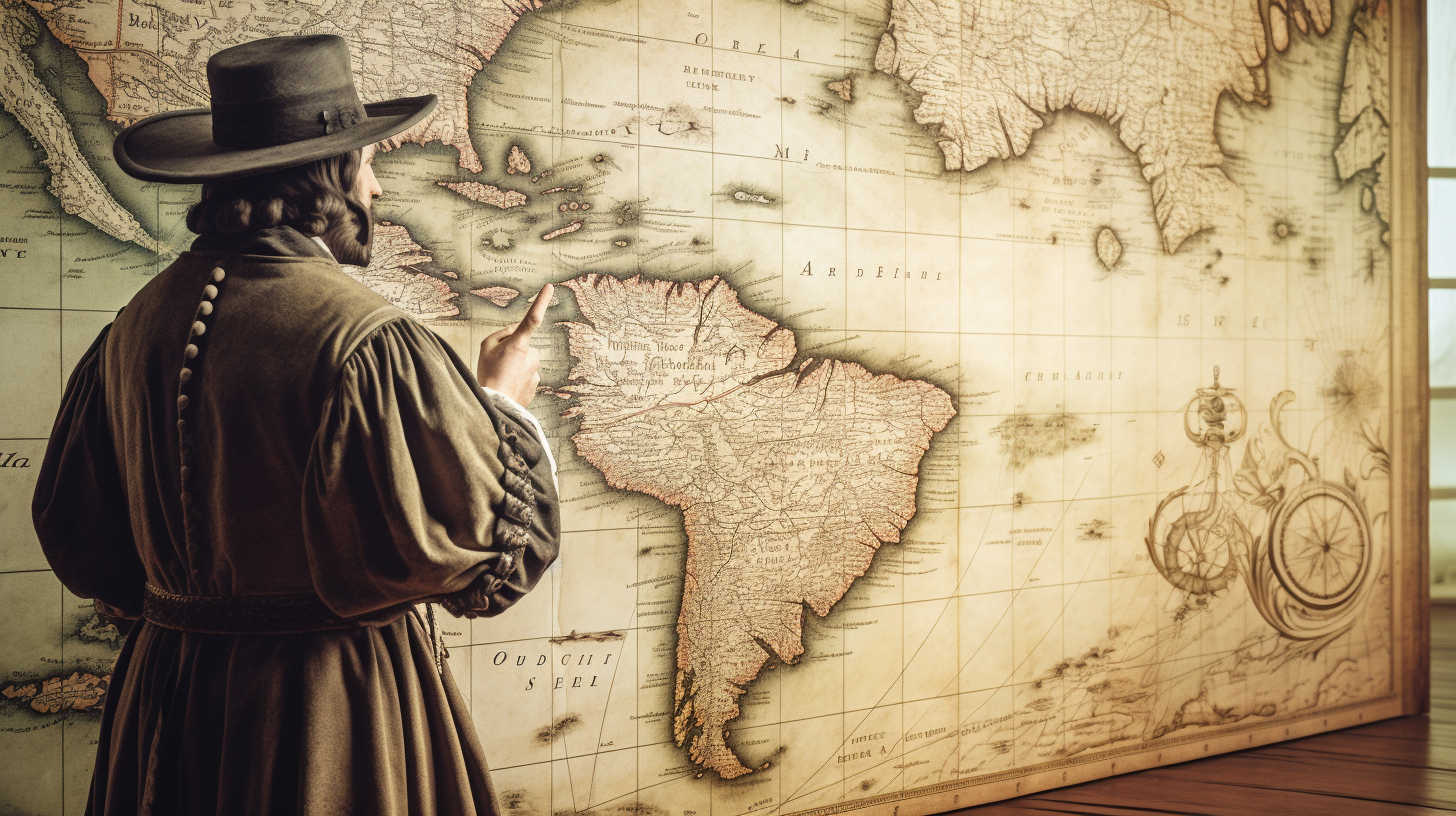
Christopher Columbus’s voyages to the Americas in the late 15th century were like the original road trip, but with a few extra pit stops and some pretty outdated GPS. While Columbus is celebrated for his epic journeys, his trusty maps have always been a bit of a head-scratcher for historians. Enter Geographic Information Systems (GIS), our modern cartographic superhero, swooping in to give Columbus’s maps a digital makeover. In this blog post, we’ll embark on a fun-filled journey, exploring how GIS technology is revolutionizing our understanding of Columbus’s maps.
I. Columbus’s Legacy: Maps, Myths, and Mystery
Columbus’s voyages were like the world’s first DIY adventure, complete with a mixtape of sea shanties and questionable navigation.
1. The Treasure of Columbus’s Maps:
· Columbus’s maps are like ancient treasure maps, minus the ‘X’ marking the spot (he was a bit more cryptic than that).
· These maps have puzzled historians for ages, inspiring countless “Here be dragons” jokes.
2. Interpretation Troubles:
· Columbus’s map-making tools were more basic than a pirate’s treasure chest, which makes deciphering his maps a bit like reading hieroglyphics written in crayon.
· Sometimes, it feels like Columbus played a cosmic game of ‘Pin the Tail on the New World.’
II. GIS: Not Just for Finding Your Way to the Nearest Coffee Shop
Columbus’s voyages were like the world’s first DIY adventure, complete with a mixtape of sea shanties and questionable navigation.
1. What the Heck is GIS?
· GIS is like a digital wizard that takes maps and sprinkles them with fairy dust (okay, not really, but it’s pretty close).
· It’s the technology that lets us create maps, analyze data, and play detective with geography.
2. GIS Revolution: From ‘Aye, Aye, Captain’ to ‘Ctrl+C, Ctrl+V’:
· GIS is responsible for making modern maps way more accurate and less likely to lead you into a sea monster’s lair.
· Thanks to GIS, maps are now created with more precision than Columbus’s sailing schedule (we’re looking at you, “sometime between 1492 and 1504”).
III. Digging Deeper with Digital Tools
GIS lets historians and cartographers dig into Columbus’s maps like a pirate searching for buried treasure.
1. Making Historic Maps Digital:
· Turning Columbus’s ancient, crumbling maps into digital versions is like turning a pirate ship into a sleek, modern yacht.
· No more worrying about coffee stains or parrot droppings—digitized maps are the way to go.
2. Adding Some Modern Flair:
· With GIS, we can layer Columbus’s maps with modern geographical data, creating a mashup that even DJs would envy.
· Think of it as a remix of Columbus’s classic hits, complete with updated beats and groovy visuals.
IV. The Aha Moments of GIS
GIS technology helps us have ‘Eureka!’ moments while studying Columbus’s maps, minus the billowy robes and Greek baths.
1. Columbus’s Route Reimagined:
· Thanks to GIS, we’ve had some ‘Aha!’ moments in reimagining Columbus’s routes, like realizing he wasn’t just using celestial navigation but maybe asking local dolphins for directions.
· Correcting inaccuracies is now easier than convincing your friends that “The world is flat” is so 1491.
2. Revealing Cultural and Environmental Secrets:
· GIS has brought Columbus’s interactions with indigenous peoples and the environment into focus, uncovering insights even he might’ve missed (like the fact that you can’t just ‘discover’ a place people already live).
· It’s like using a magnifying glass to zoom in on history and say, “Oh, that’s what happened!”
V. The Future of Columbus Cartography
With digital cartography constantly evolving, the only thing more exciting than Columbus’s voyages are the discoveries yet to come.
1. Teamwork Makes the Dream Work:
· Collaborative projects and diverse expertise are shaping the future of GIS and Columbus’s maps.
· It’s like putting together an Avengers team of historians, geographers, archaeologists, and technologists, all working to solve the ultimate cartographic puzzle.
2. What Lies Beyond the Horizon?
· The future promises more exciting advancements in GIS and historical cartography.
· Who knows? Maybe we’ll uncover a map that Columbus used as a napkin to doodle while sipping on his ‘discovery’ mojito.

Eric Schwarz
Owner | IT Support and Security Engineer