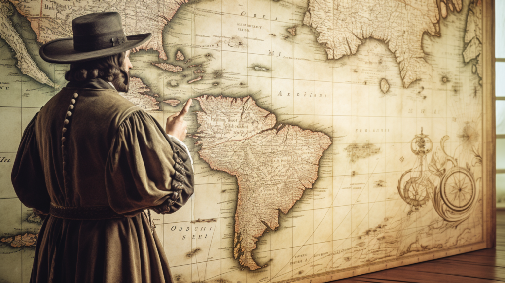
The Digital Cartographer: How GIS is Transforming Our Understanding of Columbus’s Maps

Christopher Columbus’s voyages to the Americas in the late 15th century were like the original road trip, but with a few extra pit stops and some pretty outdated GPS. While Columbus is celebrated for his epic journeys, his trusty maps have always been a bit of a head-scratcher for historians. Enter Geographic Information Systems (GIS), […]
